Our Services
Commercial Surveys
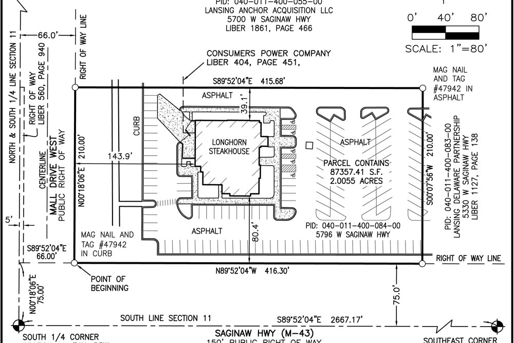
Surveys for commercial sites vary from project to project. Many consist of a combination of boundary retracements, wetland mapping, floodplain mapping, easement retracement and description creation, and utility locations.
But they can also involve more complicated matters. In some cases, tree and building heights are required (e.g. for solar arrays, or in close proximity to airports) and detailed applications of parcel zoning must be completed to determine the current and future use.
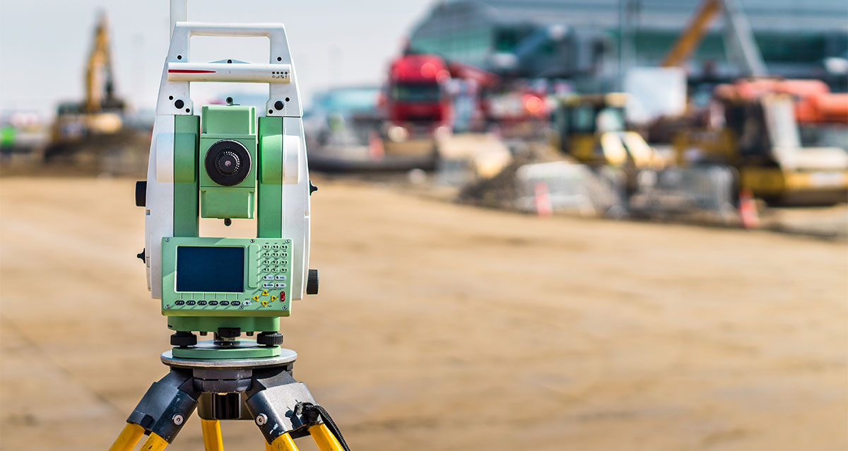
The majority of commercial surveys are for site development where we deploy numerous mapping technics including ground-based mapping (GPS/total station/scanning), aerial mapping (photogrammetry/LIDAR), or river and lake mapping which requires sounding and water line vegetation.


